

DEEPROCK
Making the geographical science
beneath British Columbia visible
Brand identity and educational system for an earth science platform translating complex geological data into accessible visual stories about earthquakes, the Cascadia Subduction Zone and preparedness in British Columbia.
IDEA:
DeepRock is a platform that translates complex earth science into clear visual experiences that help people understand what is happening beneath British Columbia, how those systems connect to the places they live and what preparedness can look like for risks associated with seismic activity.
DeepRock does not attempt to predict when an earthquake will occur. Earthquakes cannot currently be predicted. Instead, it uses scientific information and scenario-based storytelling to explain what could happen, why and how communities can prepare if the disaster strikes.
OBJECTIVE:
British Columbia sits beside the Cascadia Subduction Zone, a major tectonic boundary capable of producing a magnitude 9 megathrust earthquake, commonly referred to as “The Big One.” While the risk is widely discussed, the science behind it can be complex and difficult to relate to everyday life.
DeepRock is a speculative earth science education platform designed to bridge the gap between scientific knowledge and public understanding, making the geological forces beneath British Columbia more accessible, visual and relevant to the communities living above them.
SCOPE:
Brand Strategy
Visual Identity
Information Design
Digital Experience
Editorial and Campaign
Social media design
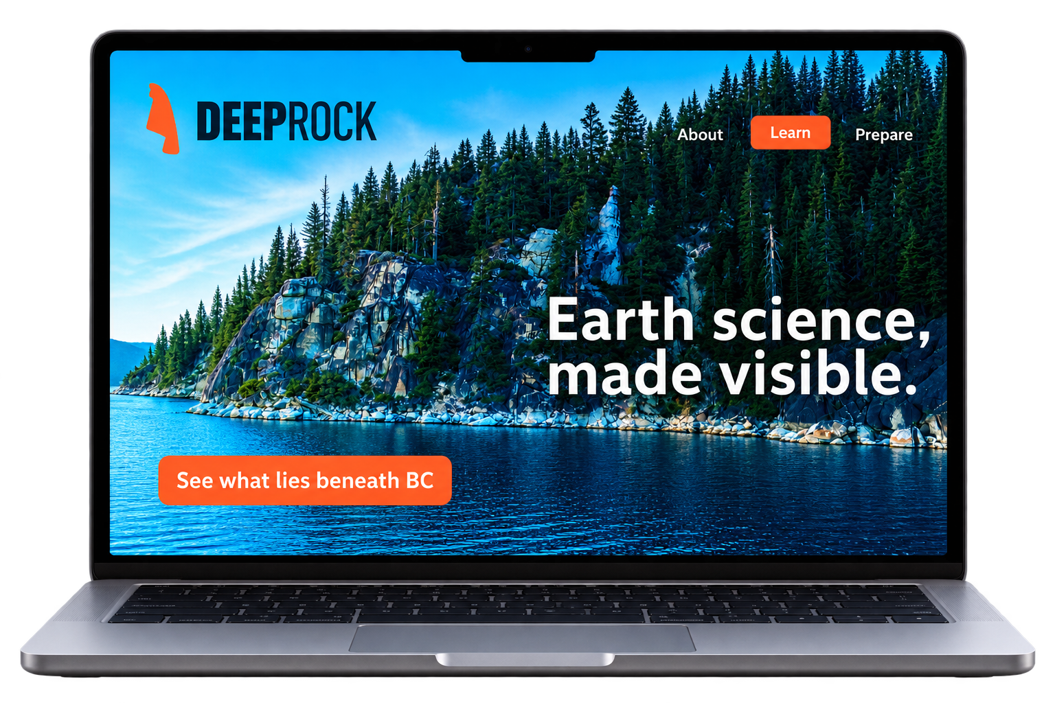
EXECUTION:
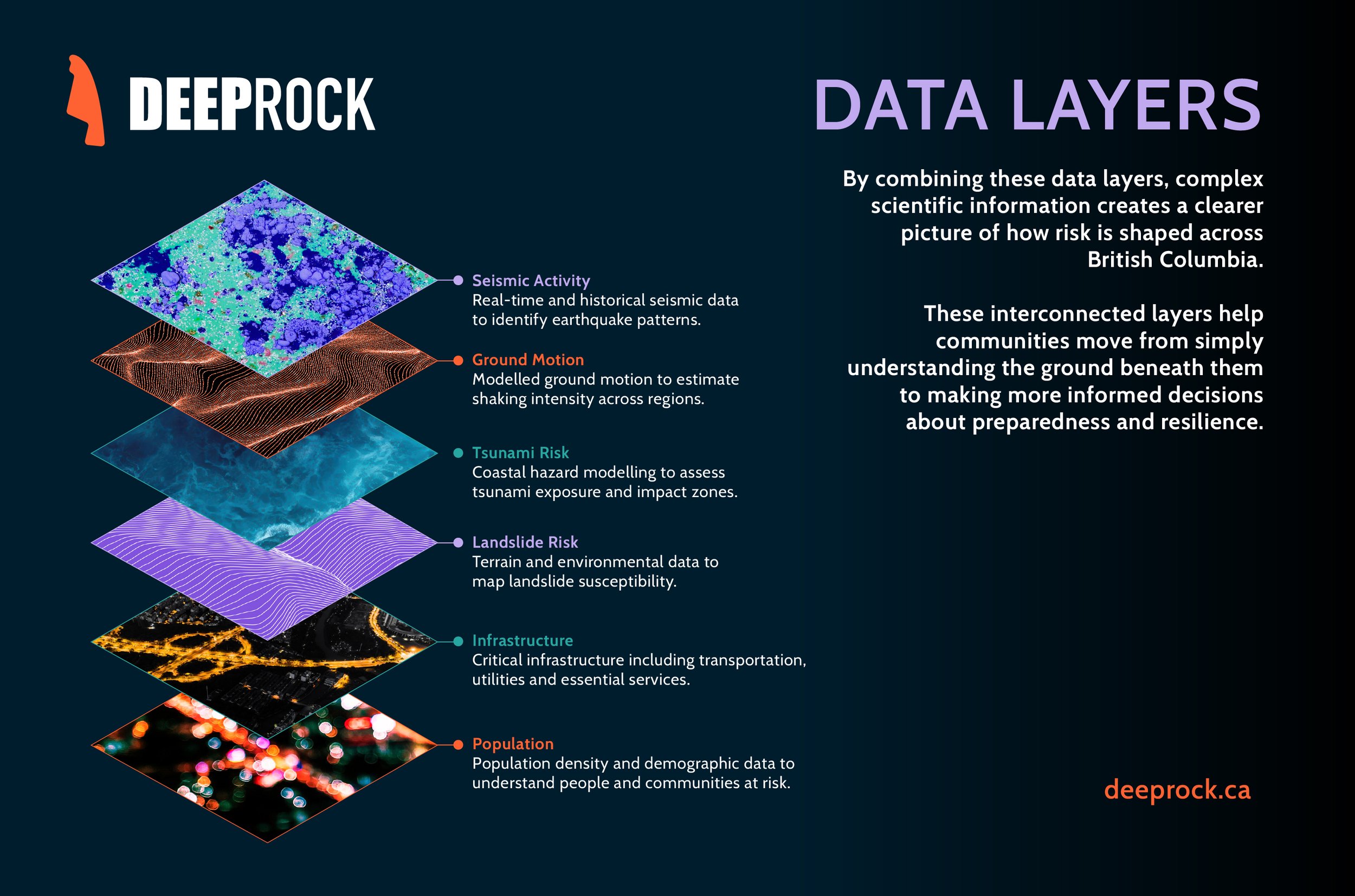
The landscape we experience above ground is connected to systems we rarely see below it. These systems have a significant impact on our lives, specially when the science predicts an upcoming major event. DeepRock makes those invisible systems visible. The experience begins with familiar places and progressively moves deeper. Starting with people, infrastructure, landscape, soil, rock, tectonic plates and ending with their movement.
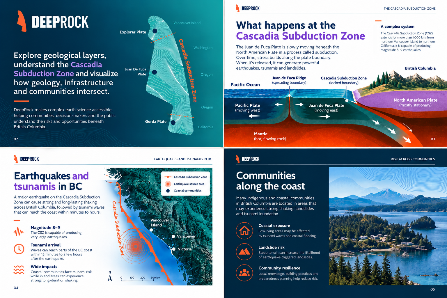
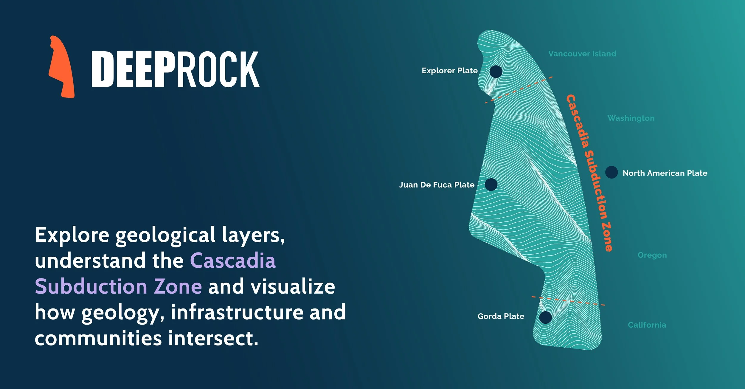
At the centre of the story is the Juan de Fuca Plate, which moves beneath the North American Plate along the Cascadia Subduction Zone. Rather than presenting earthquake risk as one overwhelming diagram, DeepRock reveals the science layer by layer.
The visual system therefore mirrors the way the science itself works with looking closer, going deeper, understanding the impact and preparedness.
VISUAL IDENTITY:
The logo is an abstract form and movement of the Juan de Fuca Plate, representing the shifting tectonic forces beneath British Columbia and their impact on the landscape above. The name DeepRock suggests looking beyond the surface to uncover the geological forces shaping the world above us. “Deep” represents exploration, knowledge and understanding, while “Rock” connects the brand directly to the earth, geology and the physical landscape.
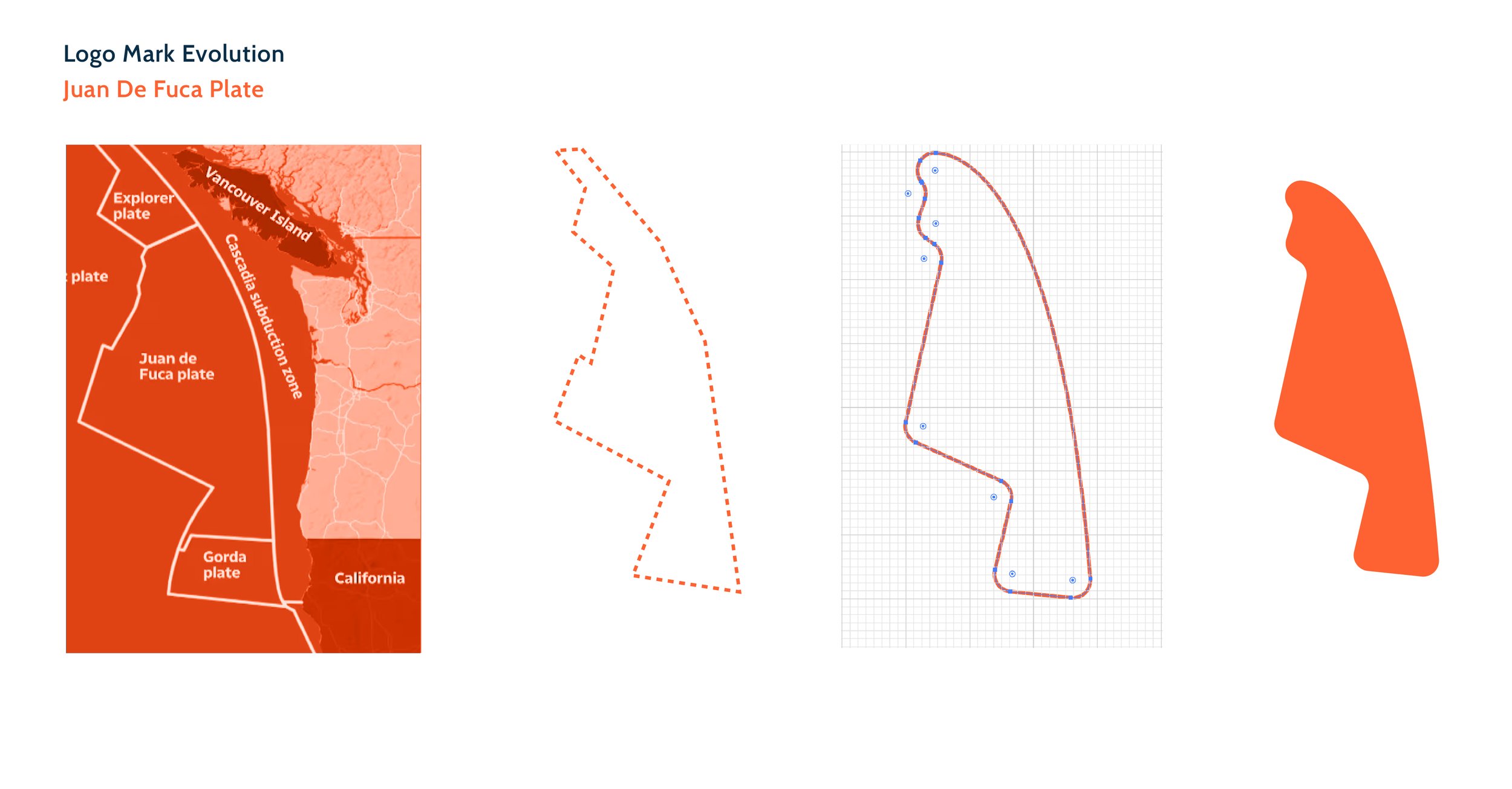
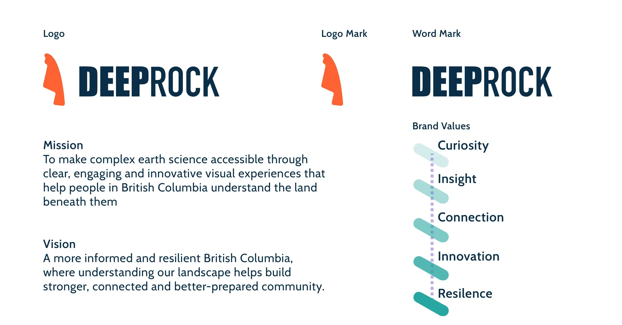
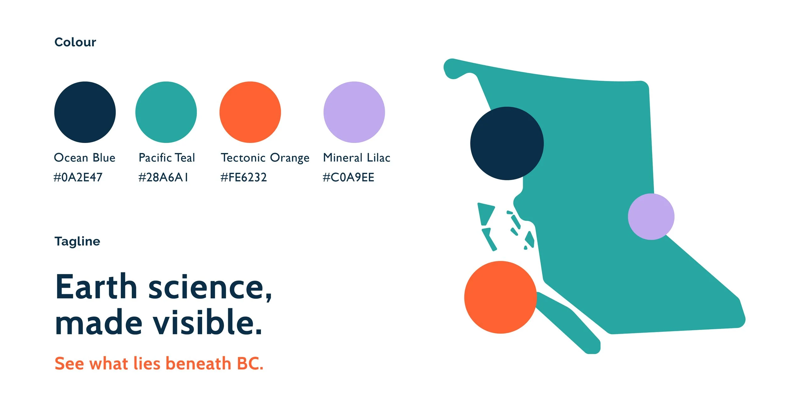
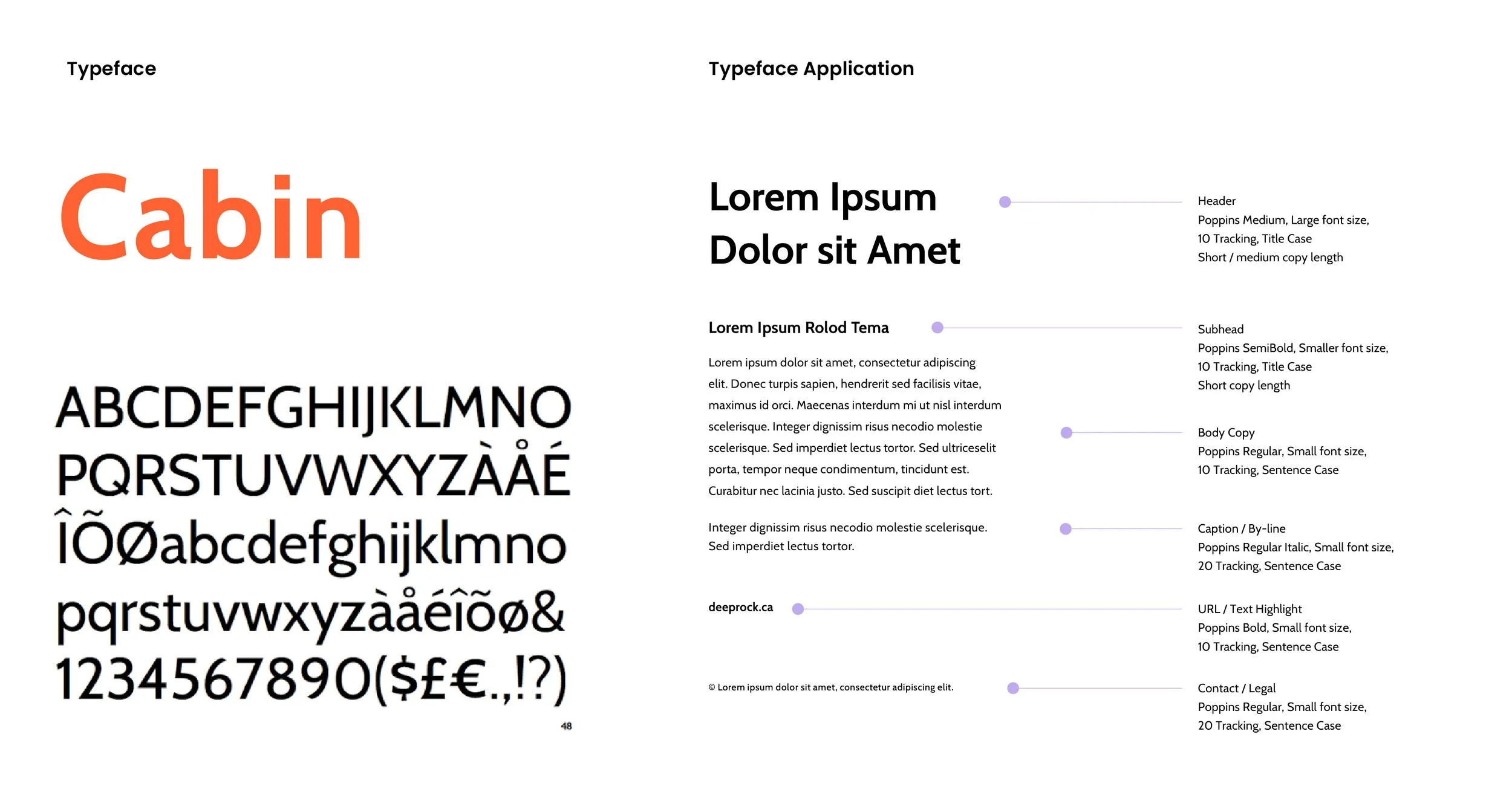
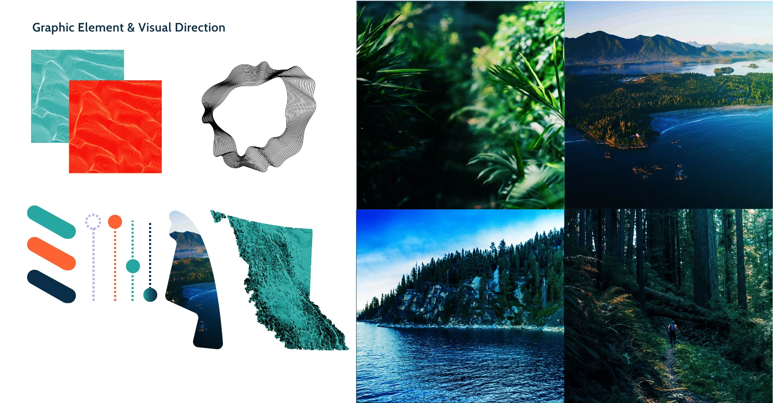
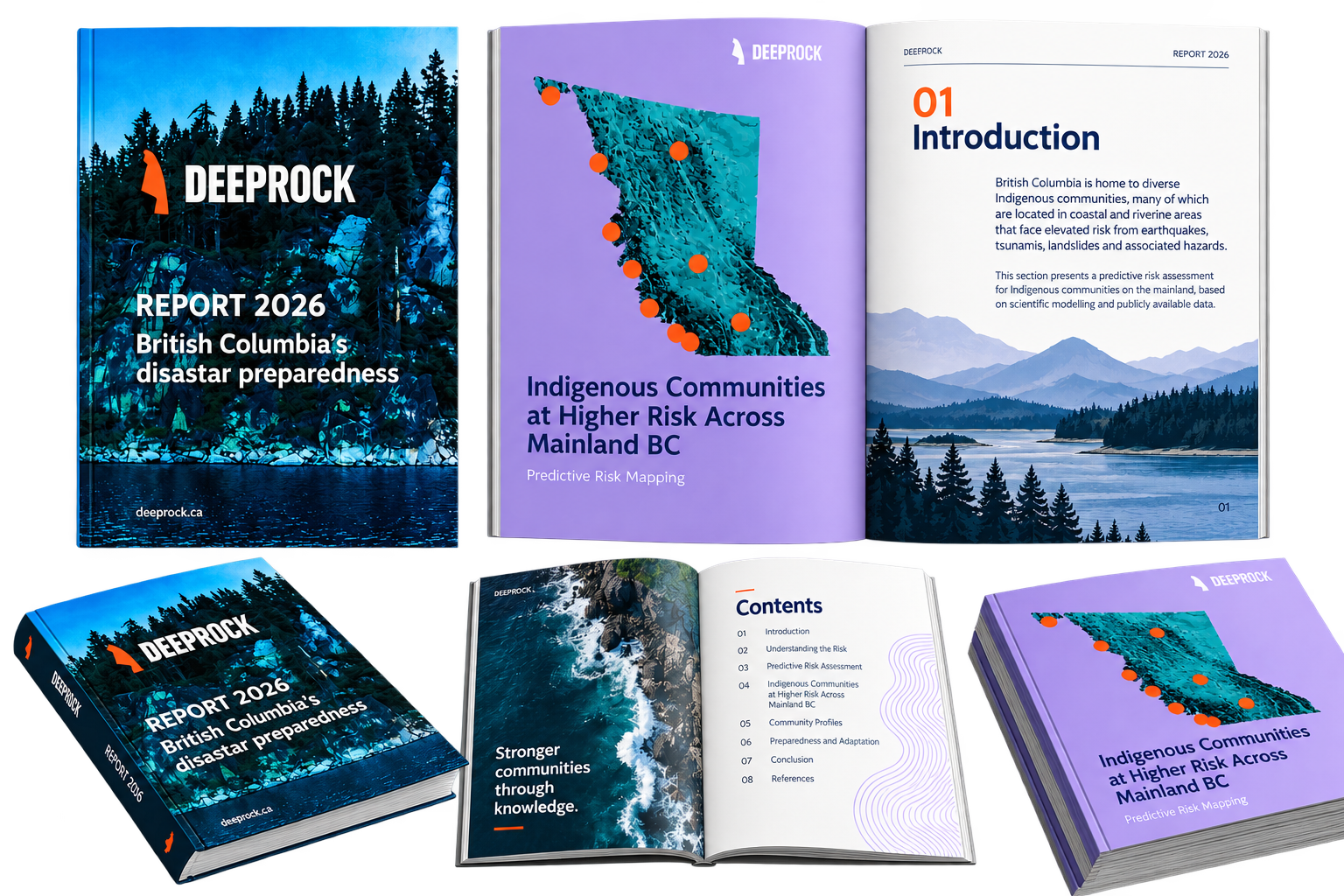
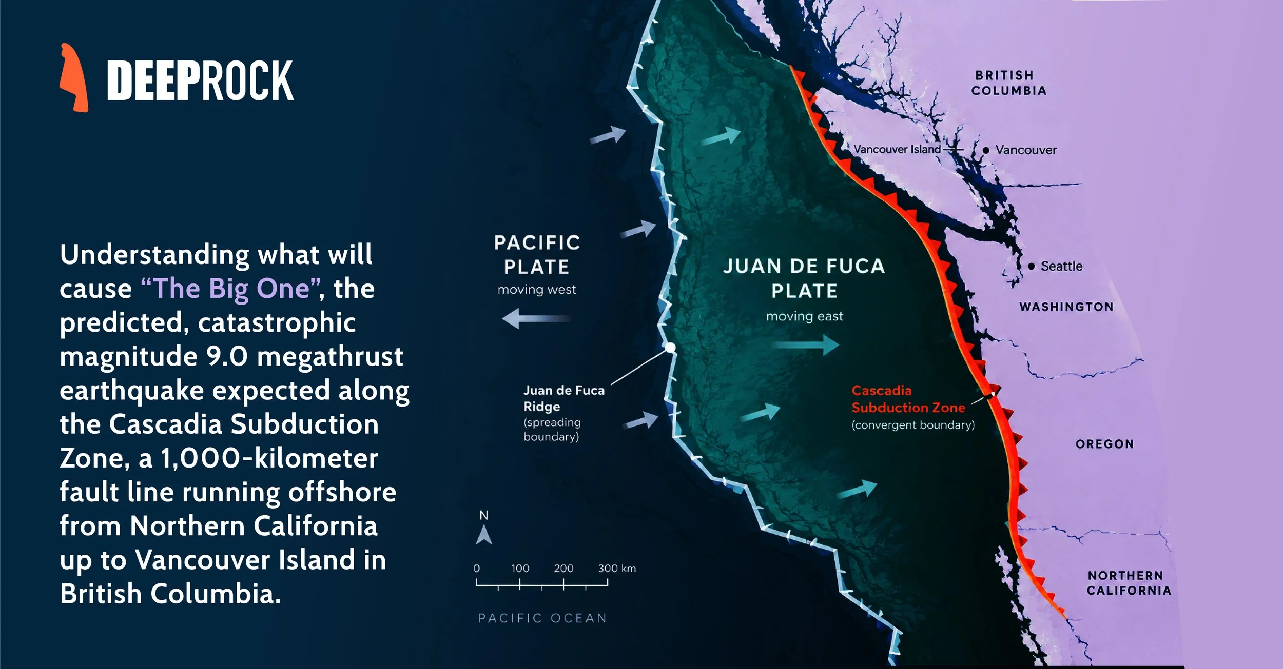
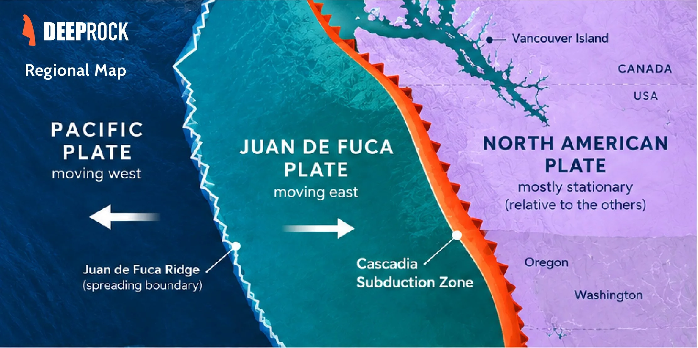
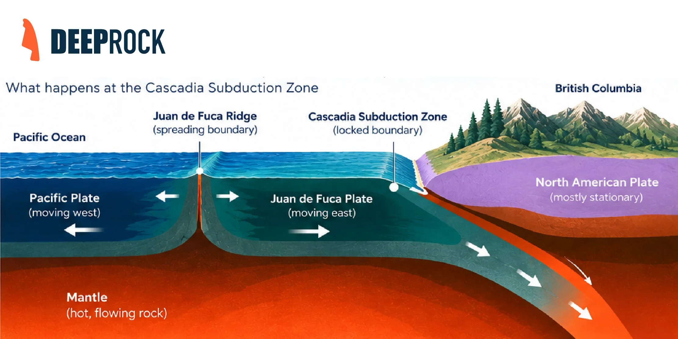
The three diagrams and maps above were created using AI, for accuracy purposes
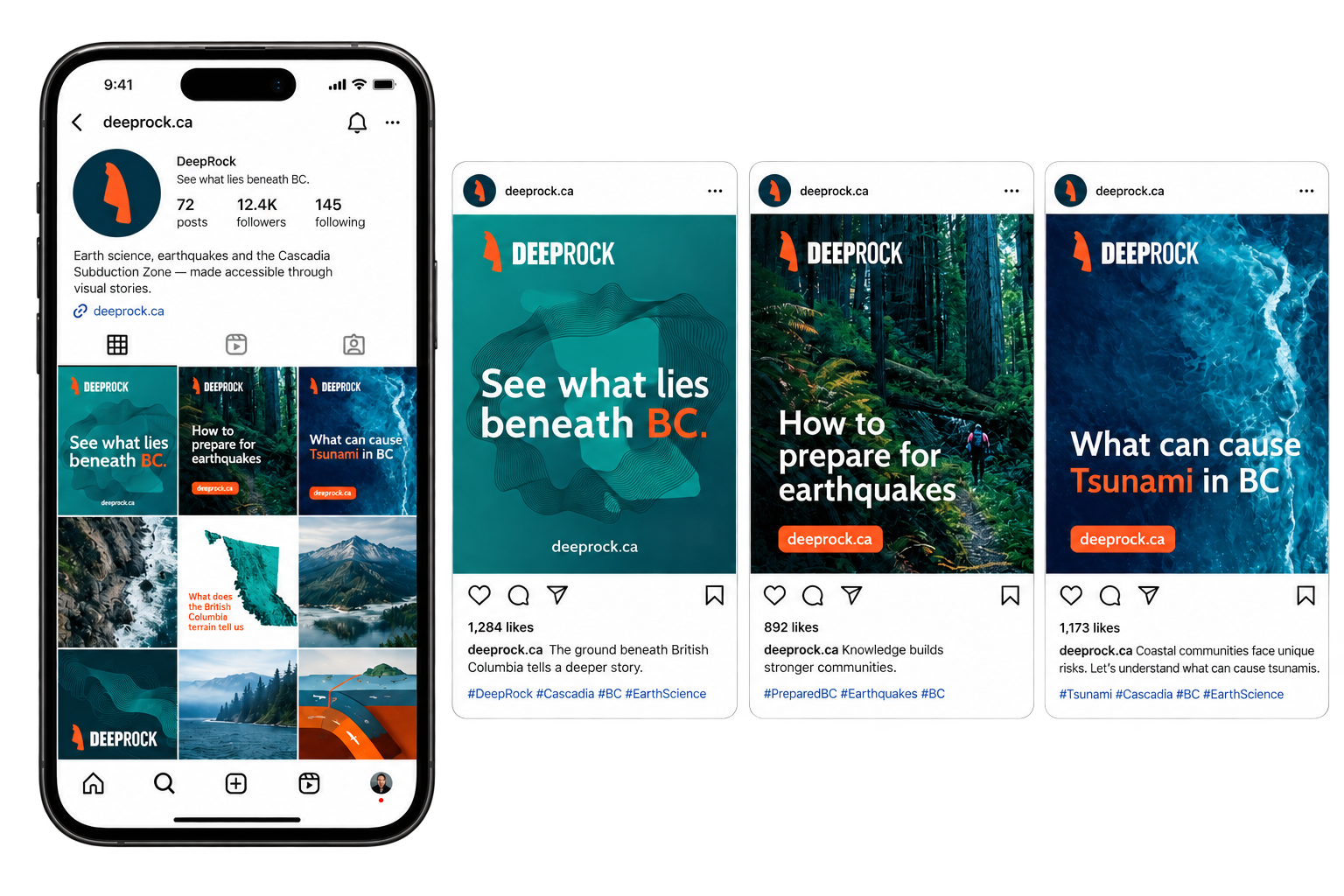
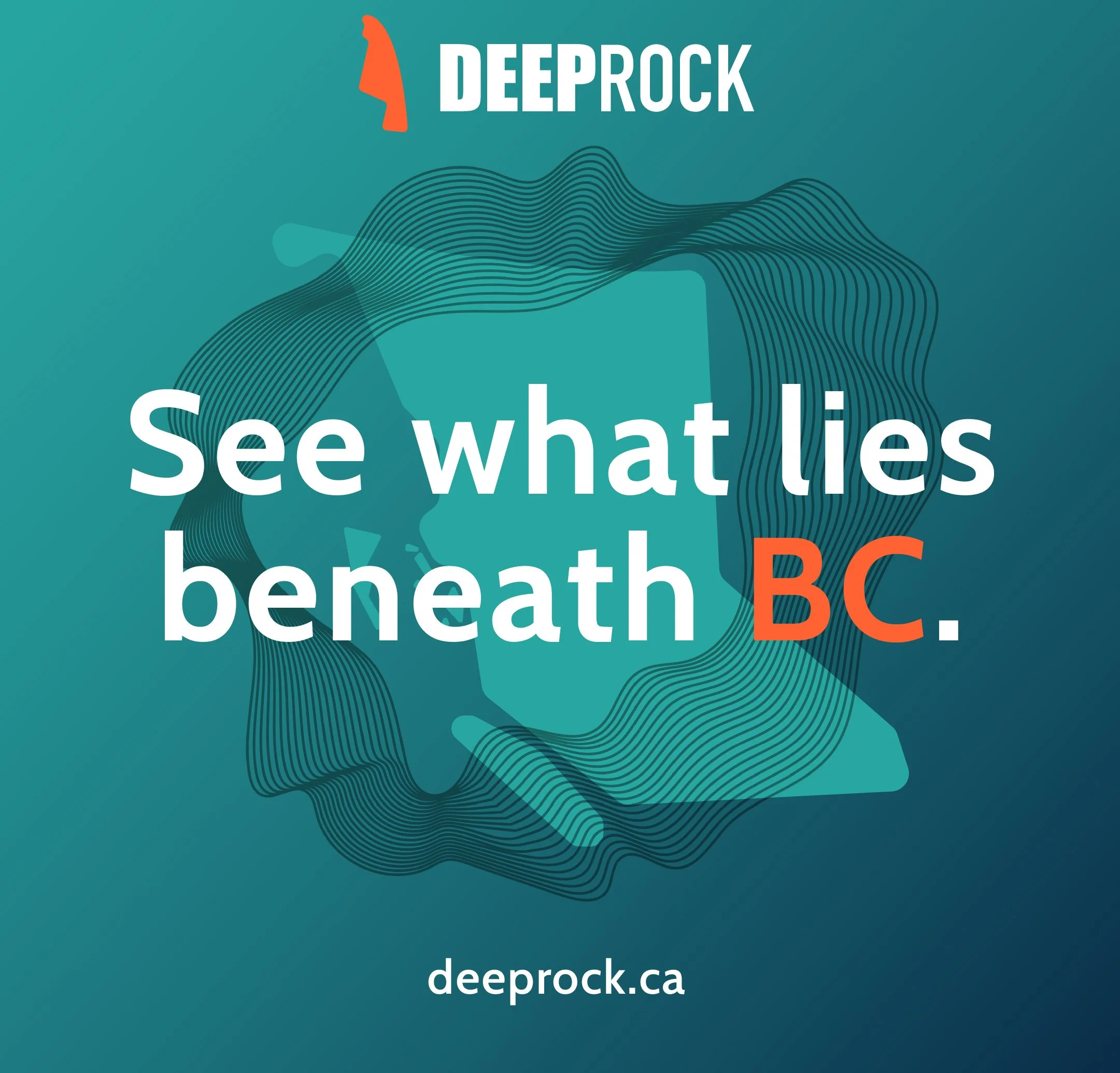
SOCIAL MEDIA
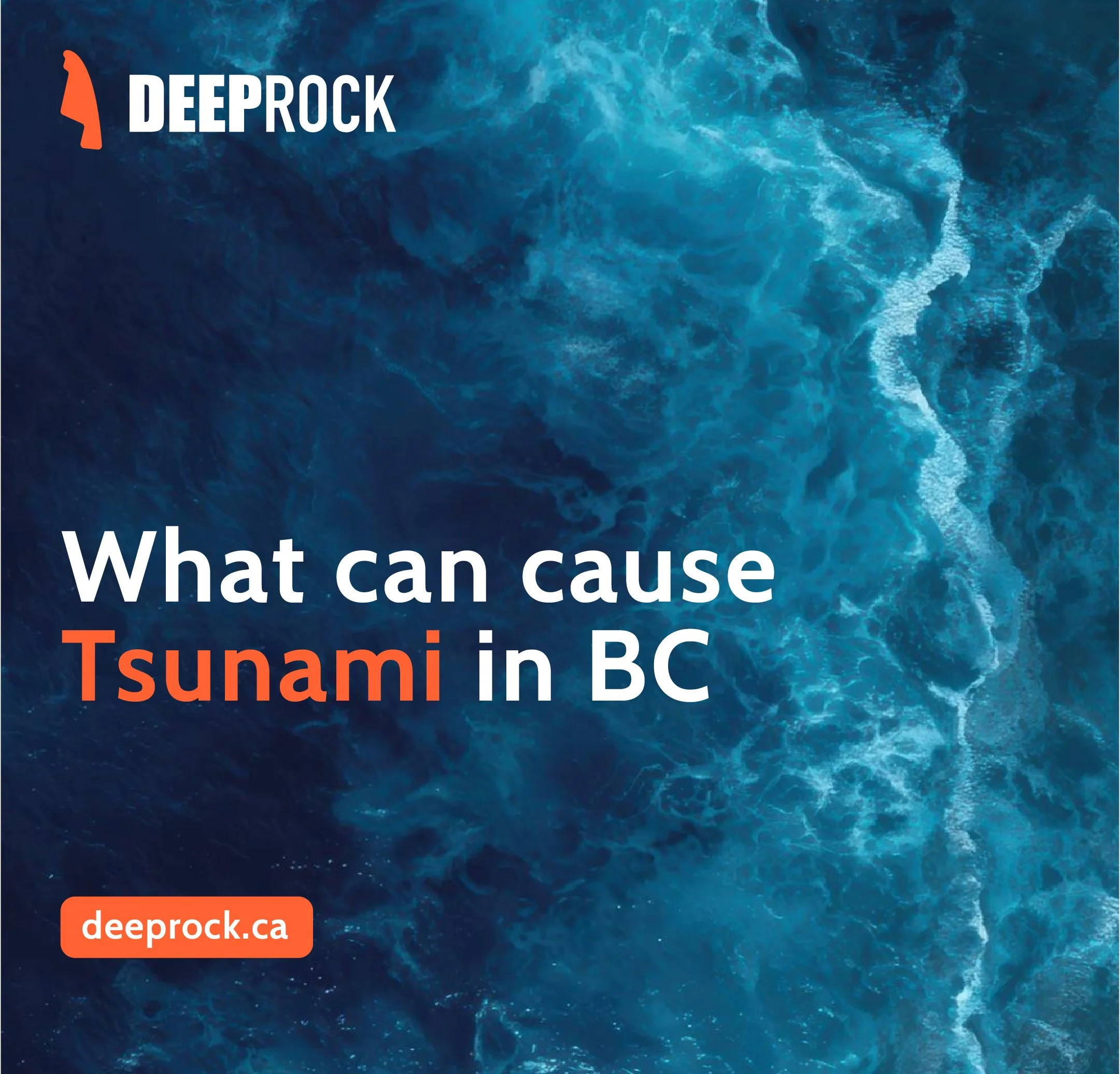
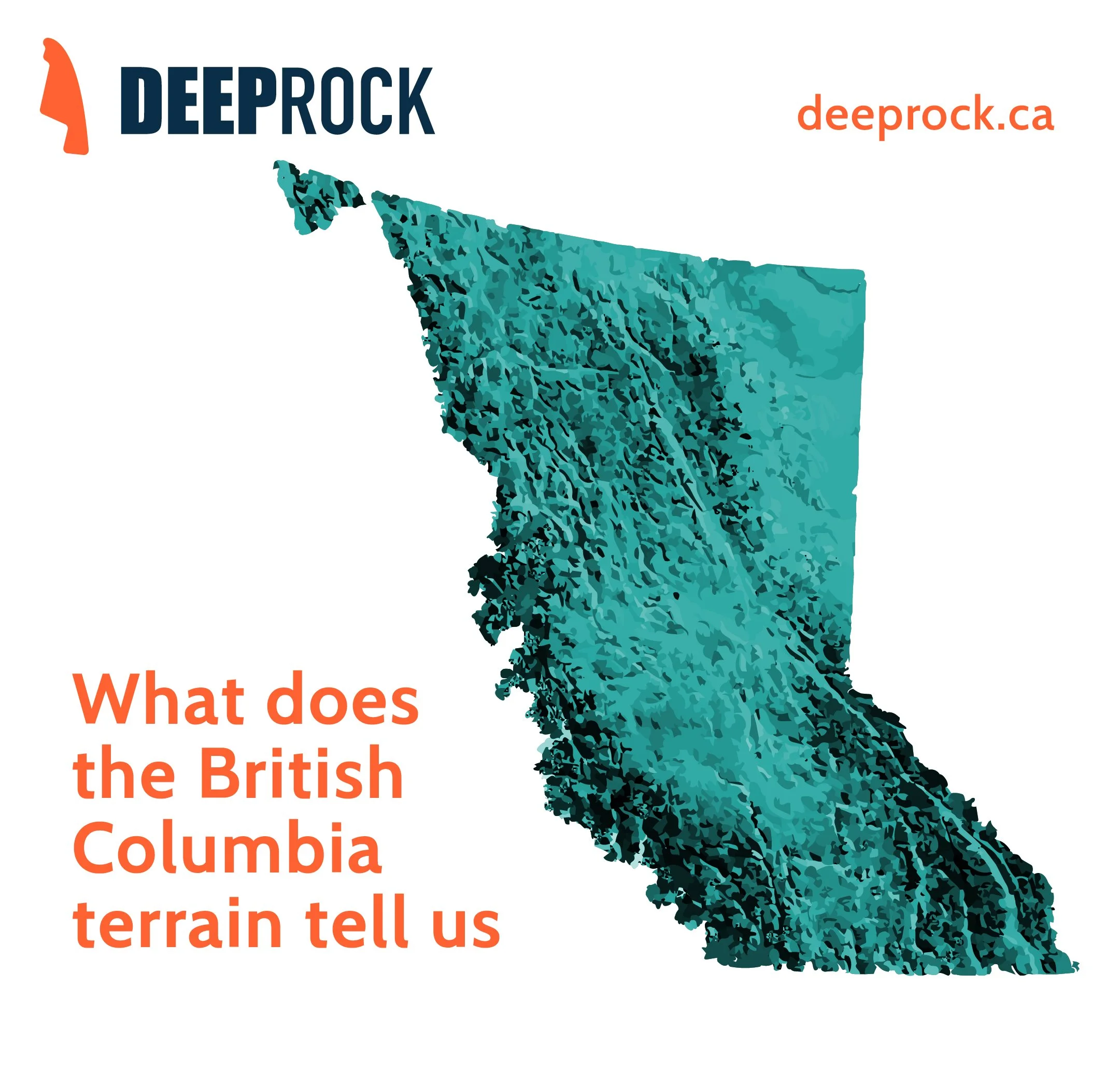
IMPACT:
DeepRock explores how brand design, illustration and information design can bridge the gap between scientific research and public understanding. By transforming complex geological systems into an accessible layered experience, the platform creates a framework for governments, educators and community organisations to communicate earthquake science and preparedness more clearly.
CREDITS:
Concept, Strategy, Branding, Art Direction, Information Design and Digital Experience: Wajeeha Abbasi - Self-initiated project
Scientific reference:
Natural Resources Canada
Earthquakes Canada
Government of British Columbia.
DeepRock is a speculative educational project. It is not affiliated with the Government of British Columbia or Natural Resources Canada and should not be used as a source for emergency alerts or official preparedness guidance.
Copyrights: All Rights Reserved - Wajeeha Abbasi